
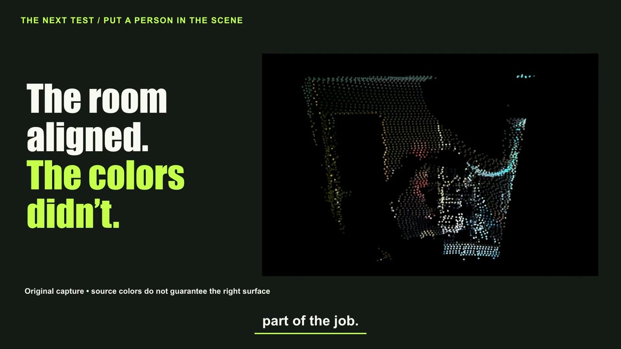
A Raspberry Pi camera and Ouster OS0 produce a coloured point-cloud experiment. Checkerboard and manual matching improve selected static boundaries from about 13.5 to 4.2 pixels, but the person ghost remains unresolved.
The idea was simple: add camera colour to measured LiDAR geometry. The setup paired a cheap Raspberry Pi camera with an Ouster OS0 and an agent doing much of the programming and computer vision.
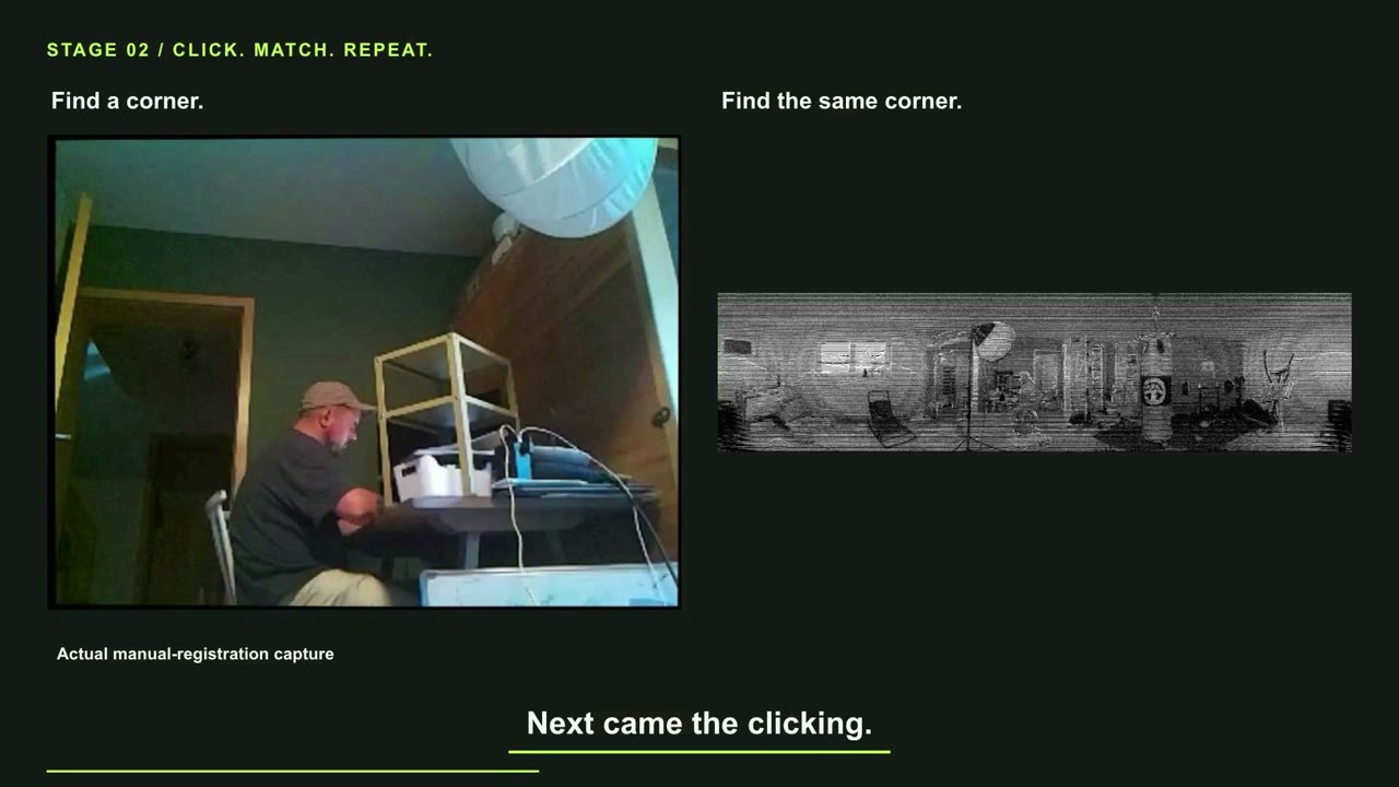
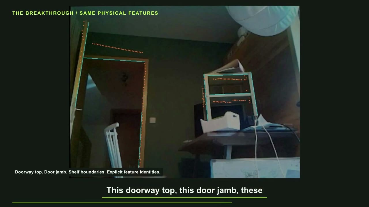
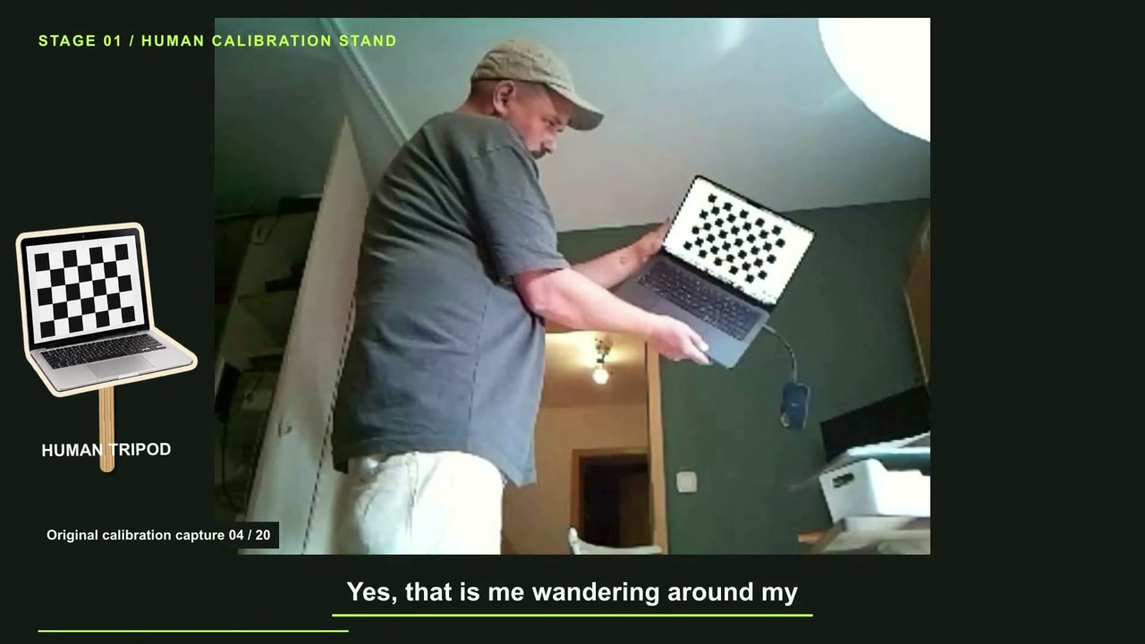
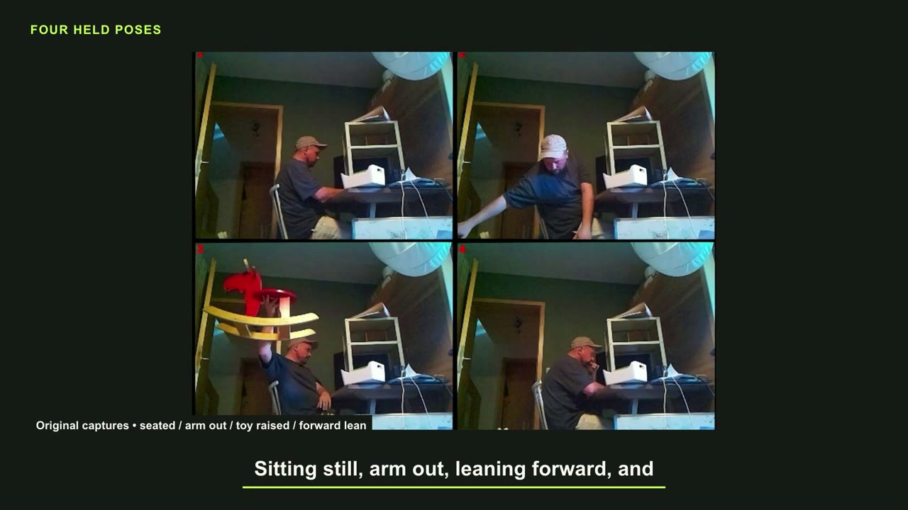
Checkerboard captures and manual matches helped selected static boundaries. Then I entered the scene, and foreground colours appeared on background wall points. Filtering removed geometry without reliably removing the problem. Four held poses, including a rocking horse, gave us harder cases to compare.
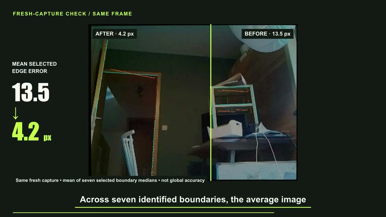
The important distinction is between alignment, timing and visibility. The reported reduction from about 13.5 to 4.2 pixels applies to selected boundaries. It does not prove overall calibration, and the ghost remained unresolved. The longer field note preserves the unsuccessful fixes and subsequent checks.
Read the detailed engineering field note →
Scope of this episode: Selected-boundary residual is not whole-system accuracy.
Based on the published episode and its production record. YouTube publication verified 22 October 2026. Stills are extracted from the released episode. Captions distinguish recorded evidence, reconstruction, simulation and illustrative material.